Maryhelen Shuman-Groh
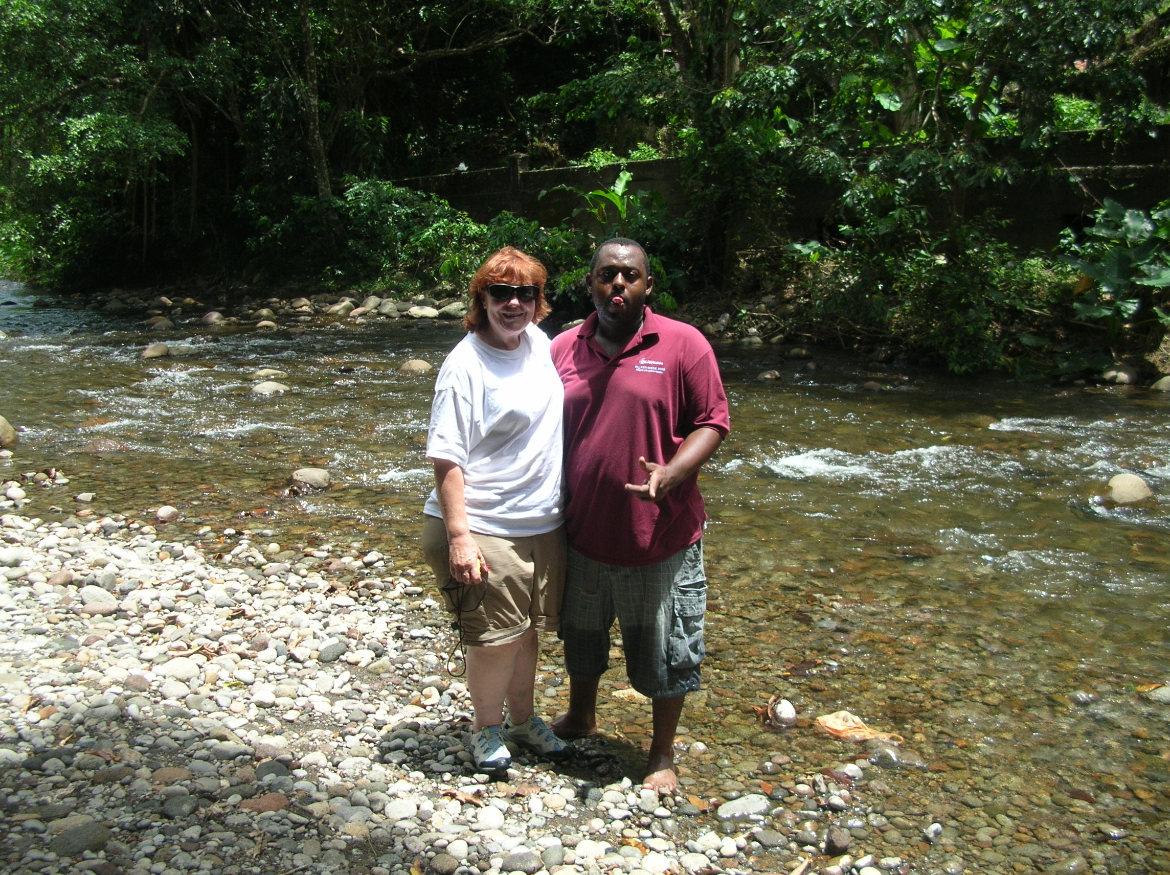
On Tuesday and Thursday of this week I had two of most challenging days. I accompanied Water Service Technician, Sherbert Riviere, into the field to observe the monitoring of rivers.
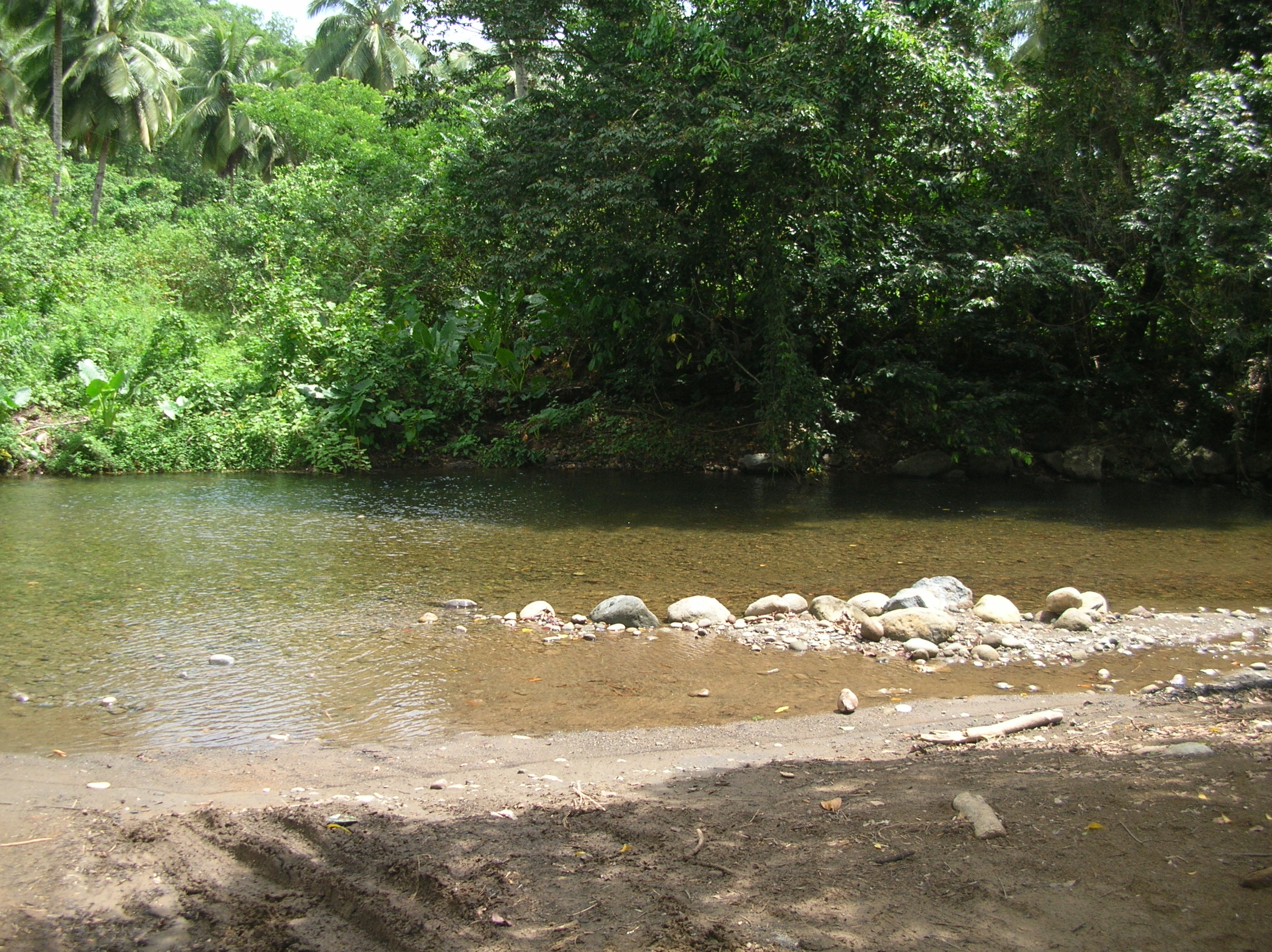
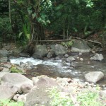
Hampstead River 3
This project is mostly DOWASCO but is working in conjunction with the Ministry of Forestry and DOMLEC (the Dominican power company). The project is monitoring five (5) rivers.
Today’s first river was located in Hampstead on the northwest coast. This made the third day in a row that I made the very long haul to that corner of the country and it is a grueling ride.
Tuesday, June 21st
Travel once again up the road to Portsmouth and take the lower road toward Hempstead where I observe and participate in the monitoring of the Hampstead River.
There are five rivers being surveyed by DOWASCO with participation by Forestry and DOMLEC.
Monitoring is done twice a month on each site.
This morning’s first site is the Hampstead River.
Hampstead River
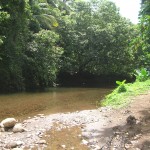
Hampstead River 2
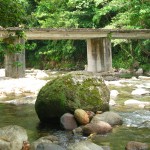
At a designated point on the river, a measuring line is extended across the river.
At designated points along the line a measure of the depth at that point is recorded and then a measure river flow is taken using a standard flowmeter. Two flows are taken at each point: at a bottom point and top point. Each measure is taken for 30 seconds.
A measure of conductivity is taken by setting the conductivity meter set mid-stream at line site.
Upstream, a bucket of river water is mixed with NaCl until dissolved and emptied midstream. The conductivity meter measures from the time the bucked is emptied through the blip in readings until it returns to the initial measurement.
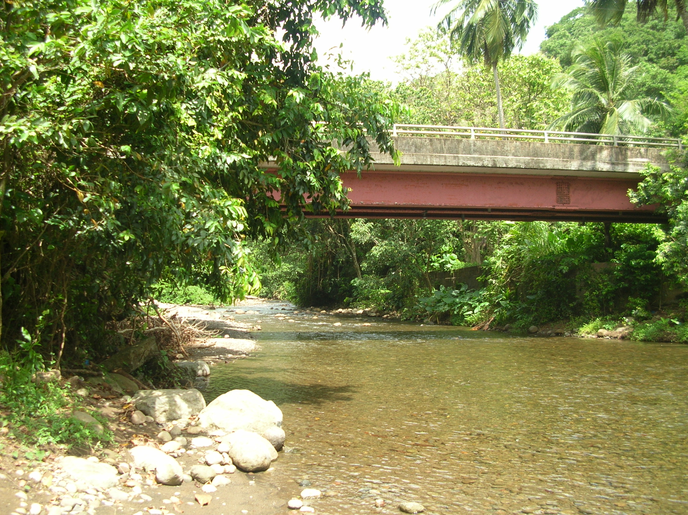
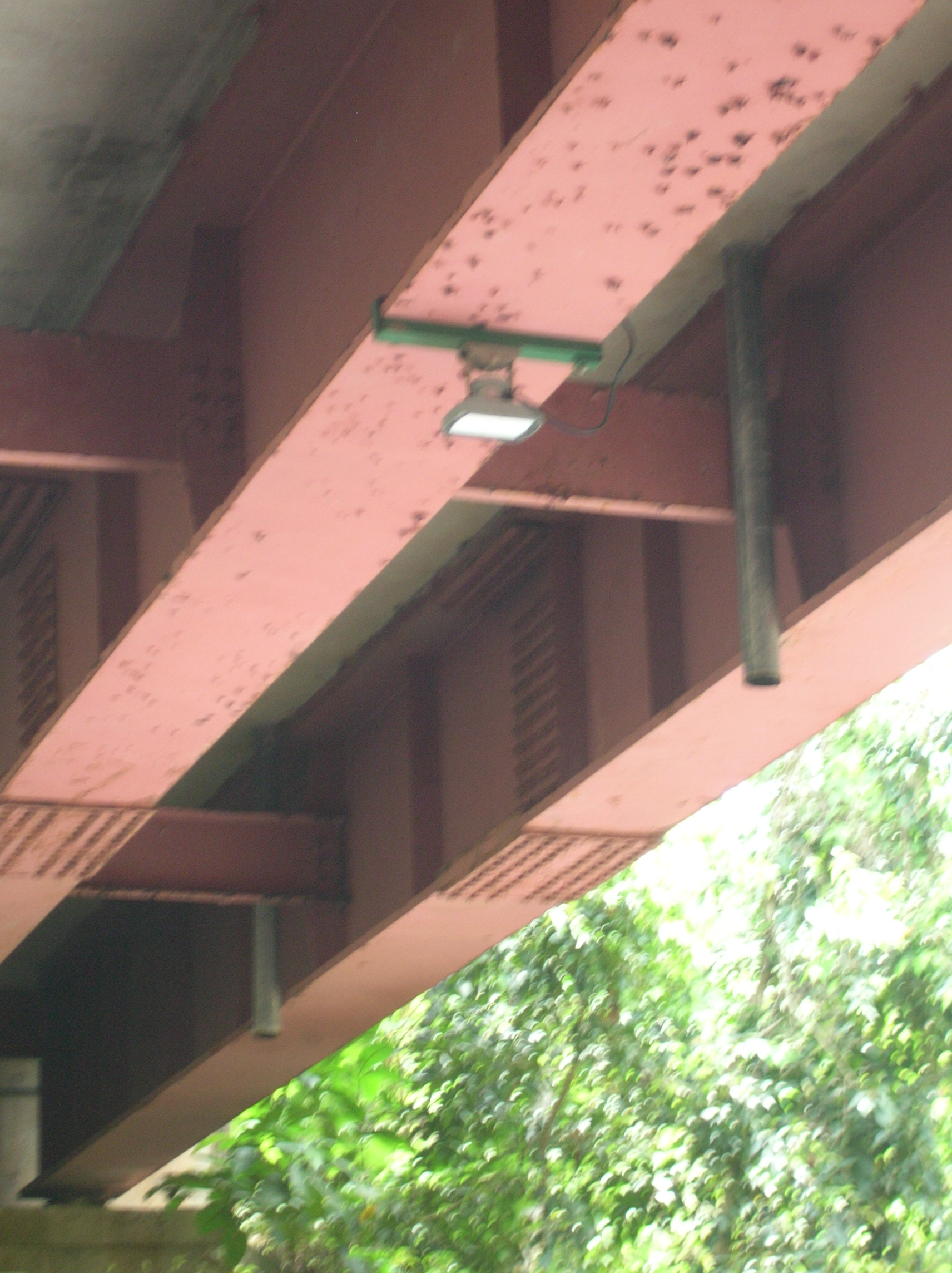
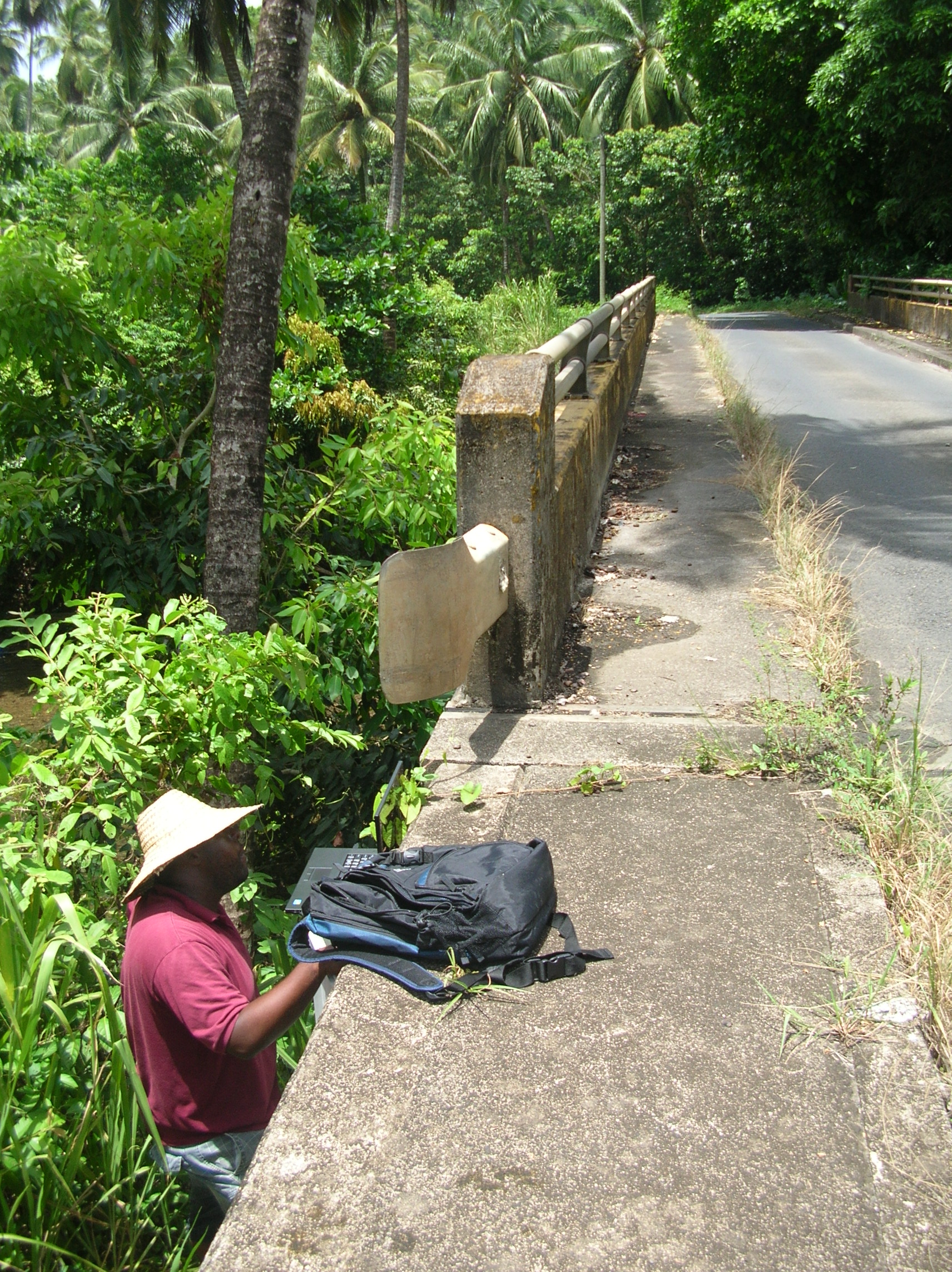
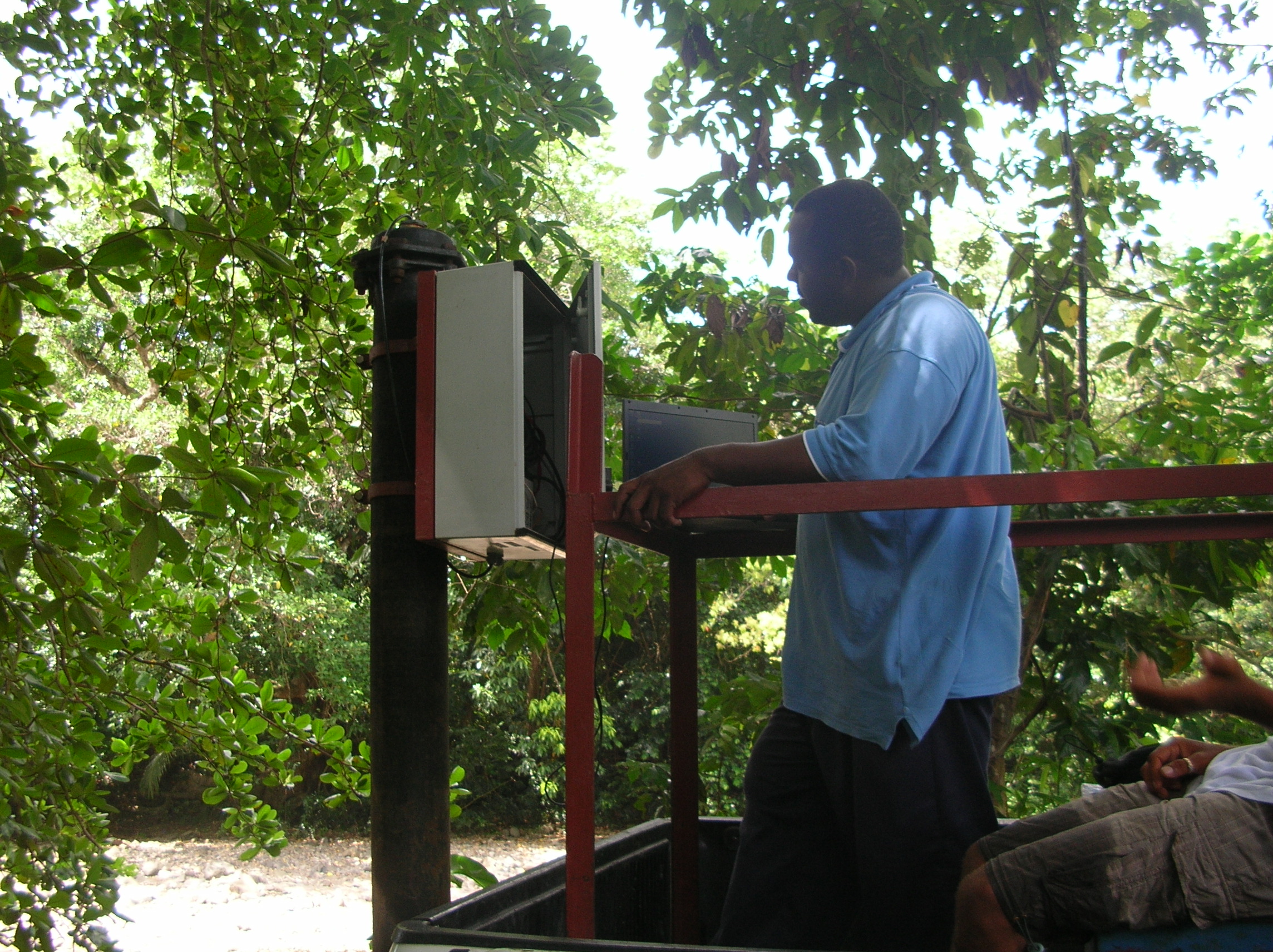
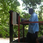
This river has a radar monitor installed under the bridge (a fixed point) that records the river level. The transfer box is attached to the side of the bridge away from the road. The technician needs to ”insert himself into the narrow path” (how to phrase) to reach the box. He unlocks it and attaches a transfer line from the box to his laptop and downloads the data. Apparently this site has been notorious for not providing the correct downloads…
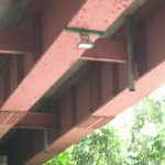
Radar Monitor for River Level
Downloading monitor data from bridge
We then travel to Picard for a quick bite. I didn’t realize we were going to another site and had lunch waiting back at the office so didn’t get anything to eat. Good thing I got a large juice and had plenty of crackers in the car.
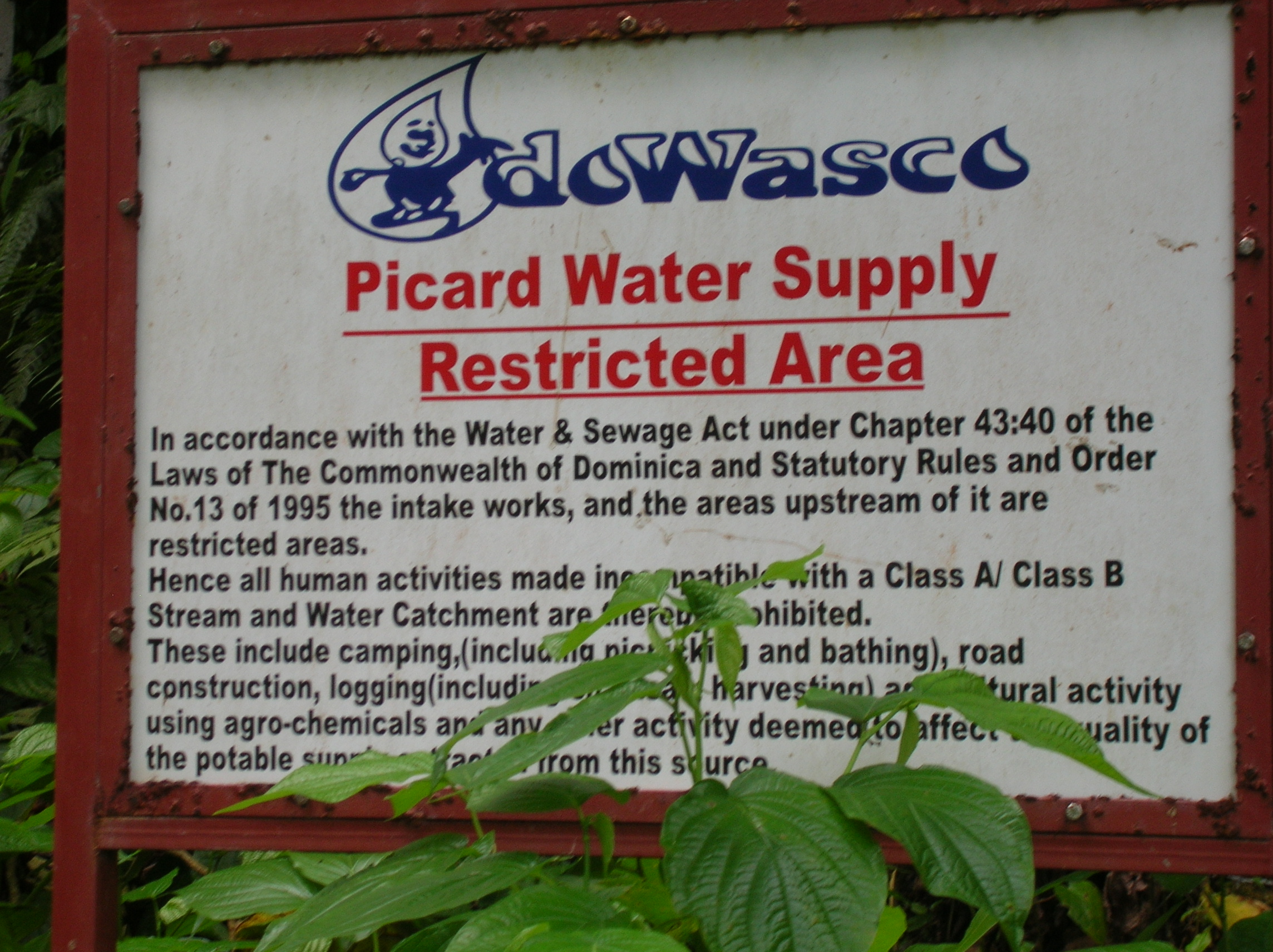
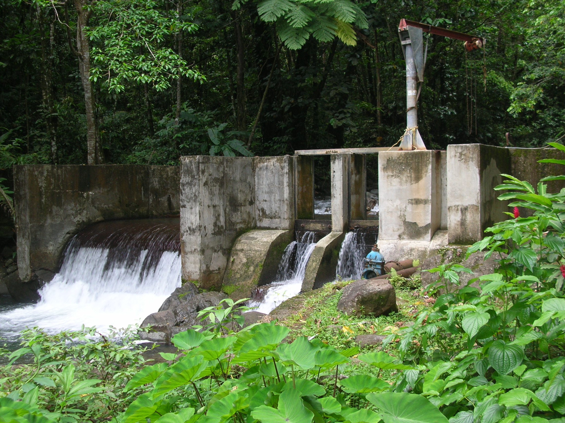
I soon realized we weren’t heading back anytime soon when the truck began a long, extremely bumpy ride UP a dirt road and further and further into the bush. We arrived at Picard water intake.

Picard Intake
This intake looks very much like a dam with sluice gates. There are debris and sand filters built into the system and a direct line that is attached to the chlorinator (gas). The Picard area receives its water directly from this line. This line also provides water to the greater Portsmouth holding tank.
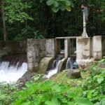
Picard Intake
A co-worker who lives in the area said that if there are outages in the water (low water levels at the intake), her house in Picard will be without water but that those drawing from the Portsmouth tank still have water.
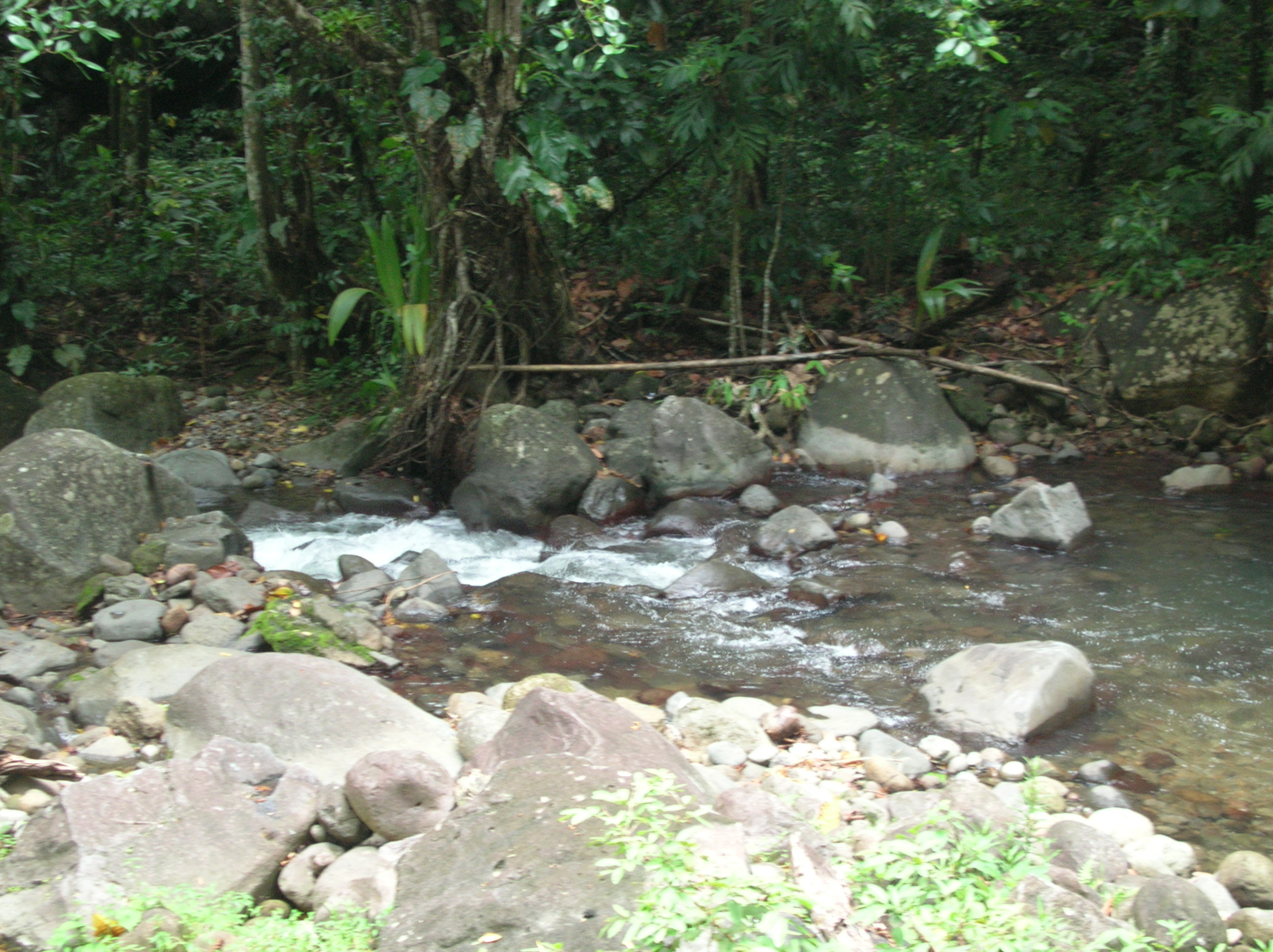
Monitoring site above the Picard River Intake - quite a hike!
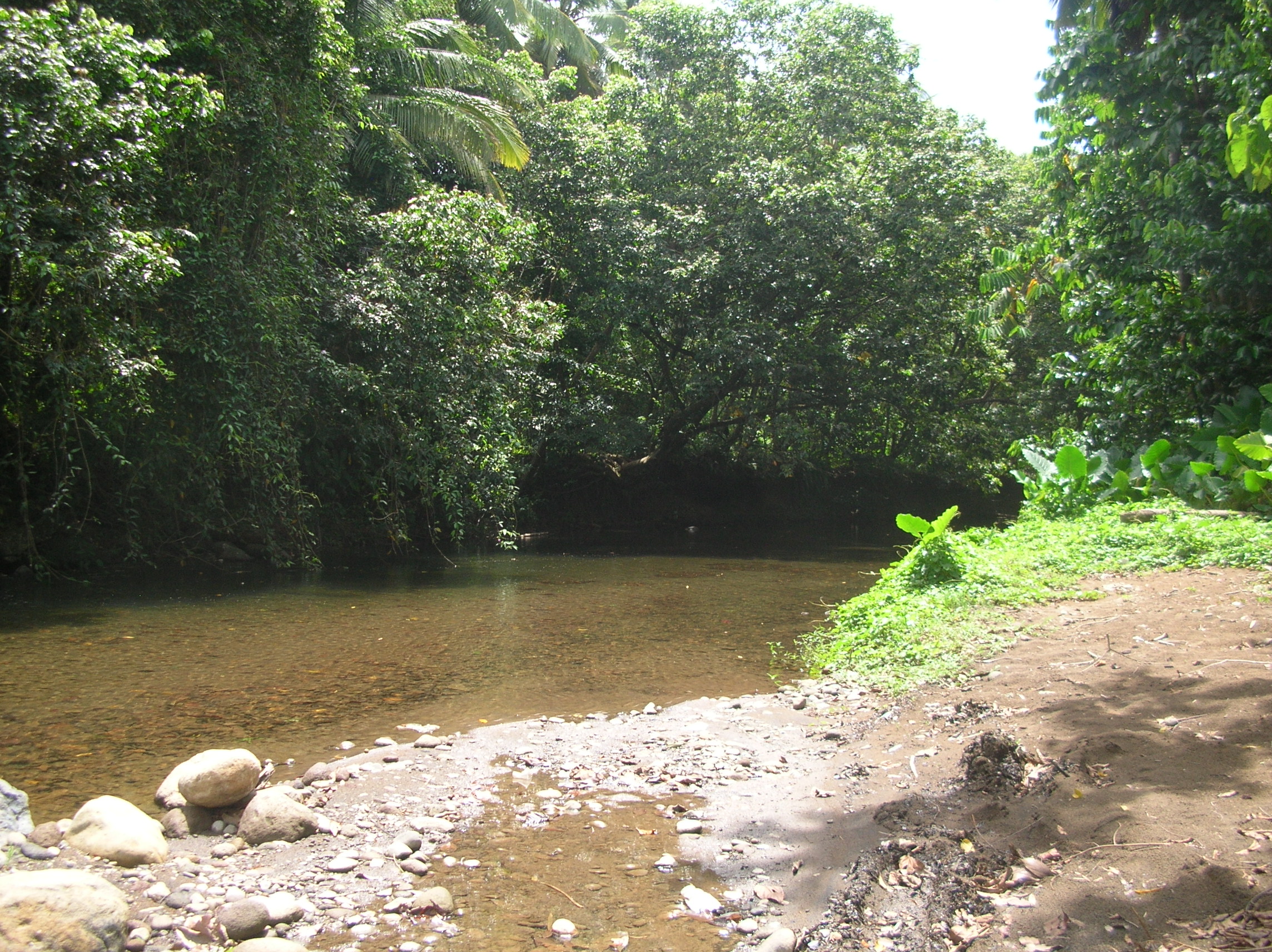
The ‘excursion’ to the monitoring site involves scaling the side wall of the dam, climbing rocks and hiking a trail covered in wet leaves then fording the Picard River. At the monitoring site we conduct the same series of tests done in Hampstead. Instead of a radar device, Picard has a side monitor built into the dam that records the river height. The technician downloads that data.
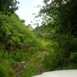
The 'road' to Picard Intake
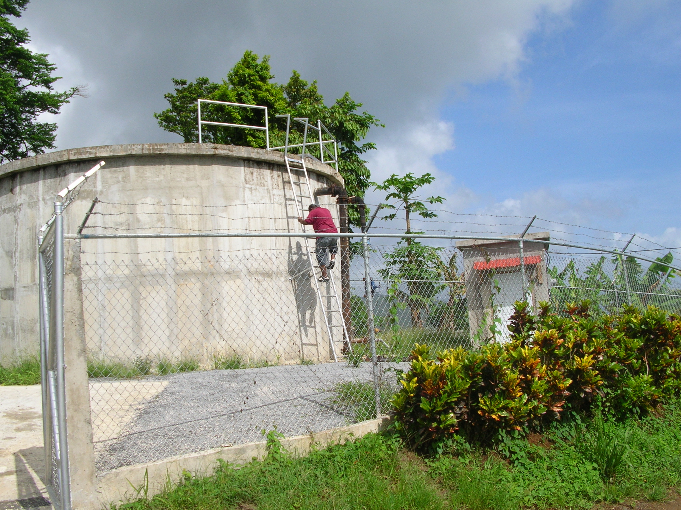
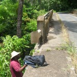
On our way back we stop once again at the Warner Water Project to check that this morning’s adjustment was effective.
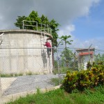
Warner Holding Tank
It is now so near 4 p.m. that I go directly to the bus stop without stopping by the office.
I am totally exhausted – not from the hikes or even the fall on my butt – but from the long drive and tension. Today’s driver was seldom under 60-80 kms (not a lot on American highways but believe me it is terrifying on Dominican roads. By evening I realize I am suffering from what we call the “Eileen Syndrome” – pain in my arm, shoulder and neck from having clung to the arm of my door the entire ride.
Thursday Outing:
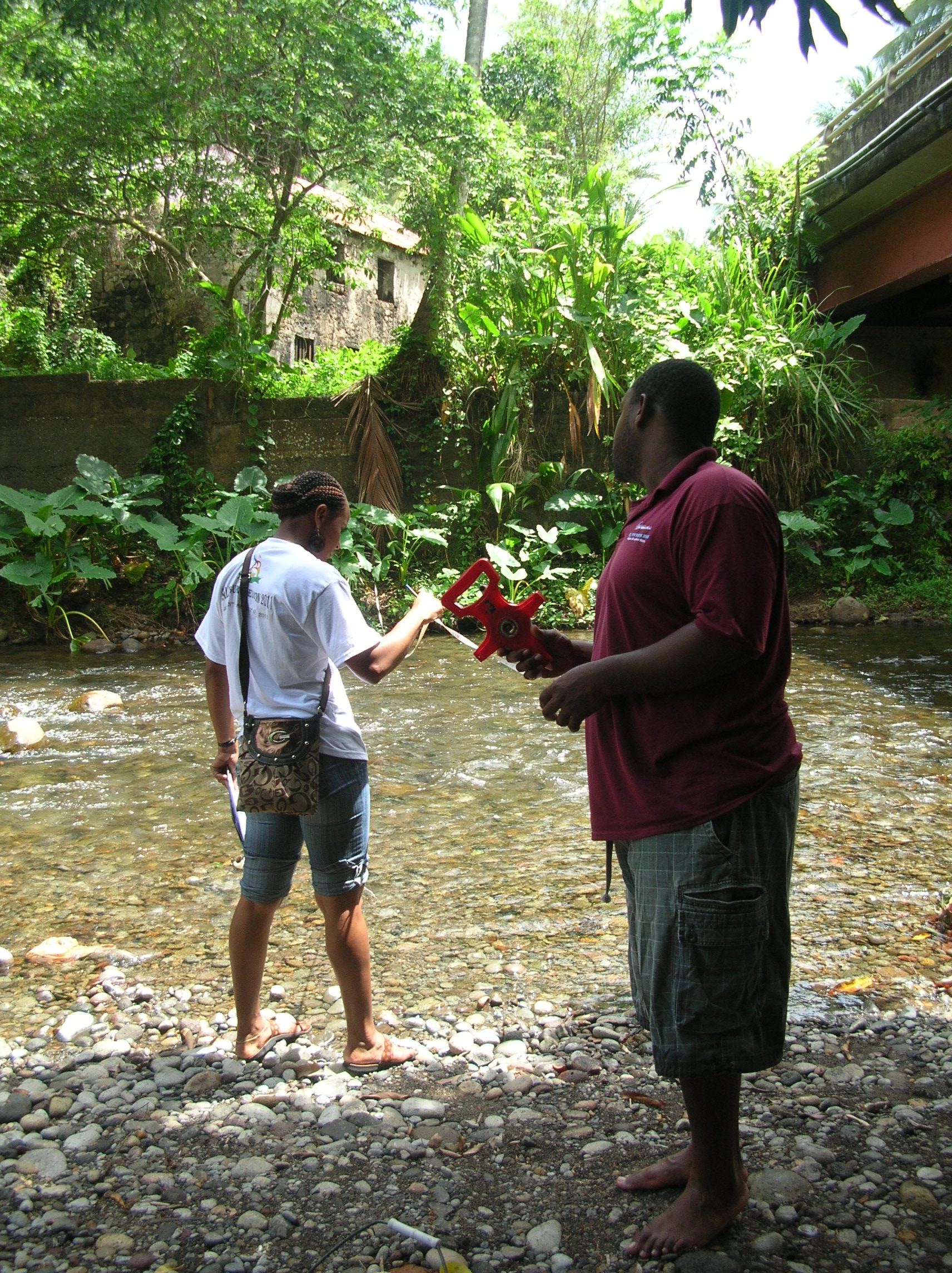
Today is a bit easier as we are traveling to Castle Bruce – not nearly as distant and the roadway is wider and has less elevation. The side road to Castle Bruce River traverses a heavily grown pathway but ends very close to the river. Today we are testing only the conductivity and downloading the data collection box. This electronic monitor is located about 7 feet about ground which I am told is about a foot above flood level.
Conductivity at Castle Bruce River
Castle Bruce River Monitor Box
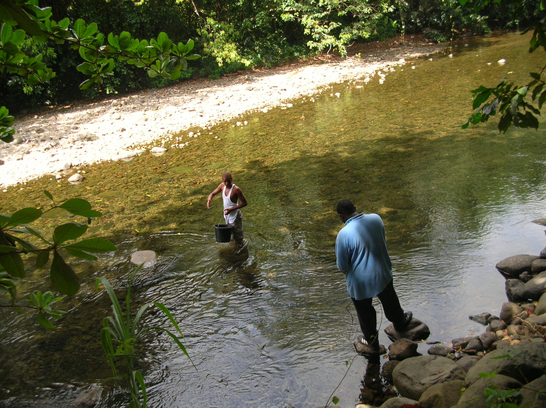
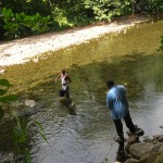
The next site is the Rosalie River. To get there we travel a long road through the bush and actually ford a stream in the truck. As we approach the stream, there is a truck stopped mid-stream. Someone is off cutting coconuts. When the cutter returns with his harvest, Sherbert buys a few of the fresh coconuts that the man machetes open for us. Once the coconut water is consumed, the man chops open the shells and cuts the edge so that you can detach that piece and use it as a ‘spoon’ to scoop out the raw coconut meat. Coconut water is full of great electrolytes.
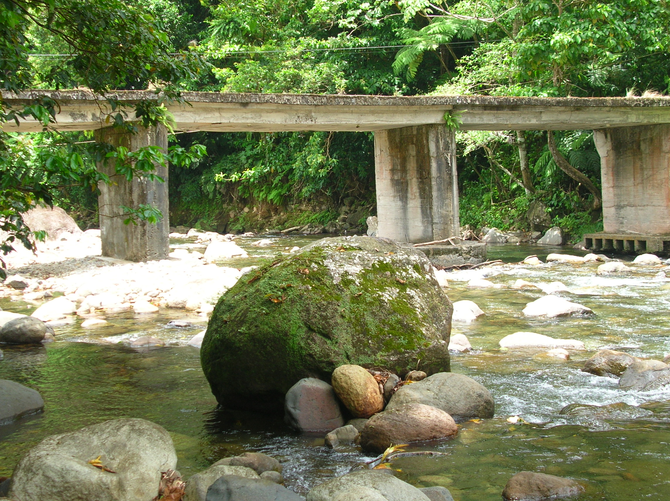
Proceeding to the Rosalie River, we follow an inclined rocky river bed to the monitoring point and again test the conductivity. This site has a bridge with a radar device and the information is downloaded. Today’s results display as a neat graphic tracking the rise and fall of the river level.
Rosalie River
Last stop for today is an excursion to Snug Corner Intake. This trip has been scheduled for my benefit to show me a site that intakes its water from a spring. This is another steep hike to the site. I’ll post the video on this as soon as I can convert it!